This entry is part 1 of 2 in the series Napa Valley
August 14, 2026
By Simon J. Lau
Field Notes
I’m kicking off a new project, Profiles, where I’ll write about and photograph people and places I find interesting. I’m still forming the idea, but I’ll likely be working on several long-running Profiles in parallel. My goal is to spend as many field days as I need to collect and record my observations, then complete a polished write-up.
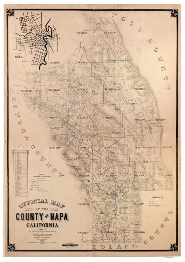
Napa County Map by O.H. Buckman, C.E.
First on my list is Napa Valley. For this project, I’m dividing Napa into five broad regions: the upper, central, and lower valleys, along with the mountains that form its western and eastern borders. These aren’t official designations, but they provide a useful way for me to understand the geography.
I spent the afternoon motorcycling through Napa’s upper and central valleys, spending most of my time in St. Helena. It sits near the heart of the valley and has been closely tied to the region’s wine industry since its early years. It’s a small town surrounded by vineyards, but it also functions as one of the commercial centers of the central valley. Many of the institutions and wineries that helped establish Napa’s reputation are concentrated in and around the town, making it a useful place to start understanding how Napa evolved from an agricultural valley into one of the world’s best-known wine regions.
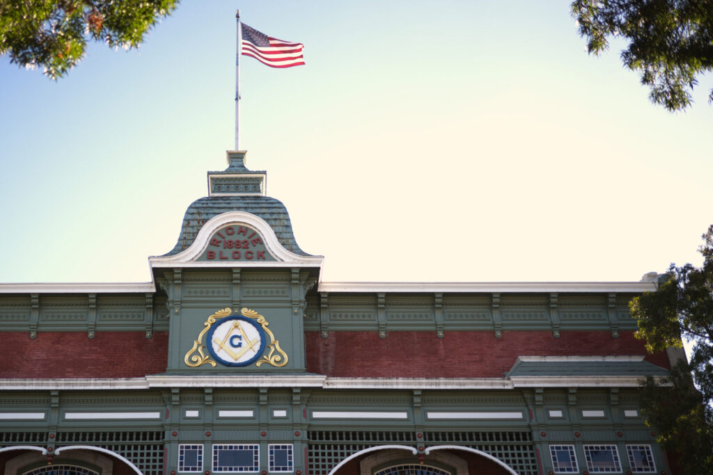
St. Helena’s Main Street is lined with commercial buildings, some large and some small, many built during the late 19th and early 20th centuries. The Richie Block, built in 1892, is one of the more prominent examples. Its size and elaborate facade reflect the prosperity St. Helena was experiencing by the end of the 19th century, as the town developed into a commercial center for the surrounding agricultural and wine-growing region.
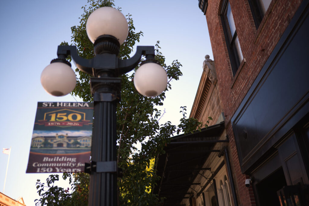
The city has plaques describing the historic core and these buildings, but makes a point to call out the “3-globed cast iron electroliers.” Call me ignorant, but I originally had no clue what these referred to. Turns out, they’re the ornate streetlights that still line the roads.
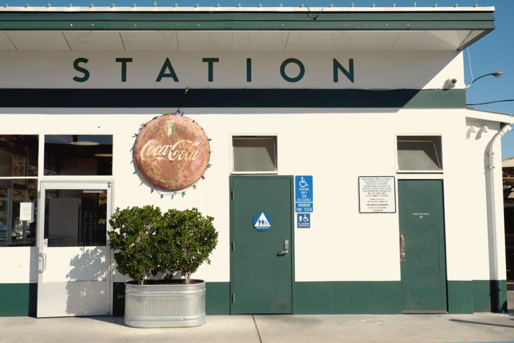
St. Helena’s historic core was originally built around pedestrians, with most of its commercial buildings fronting directly onto the sidewalk. Farther down Main Street, a mid-century gas station illustrates the rise of the automobile and the way it reshaped towns.
The station is set back from the sidewalk, leaving space for cars to pull off the road, fuel up, and leave. Buildings no longer had to meet pedestrians at the sidewalk. Increasingly, they were designed around access for cars. The station still sells fuel today, while its former retail space has been converted into a restaurant.
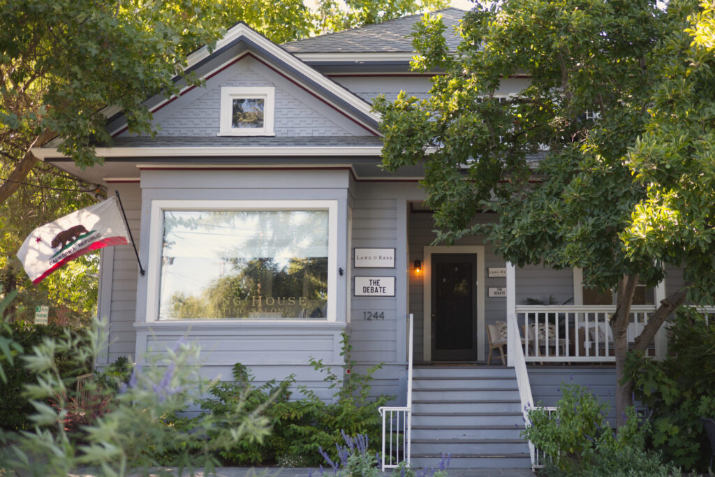
Just beyond Main Street are St. Helena’s residential neighborhoods. The restored Victorian house at 1151 Main Street, with its steeply pitched roof, modest front porch, and asymmetrical facade, stands in sharp contrast to the brick commercial buildings just a short walk away. Its preservation gives a sense of what the town’s residential neighborhoods looked like as they grew alongside its agricultural and wine economy.


Comments are closed.